
Our services> Immersive 360° visualization
Interactive solutions to explore real environments from a distance, analyze images with precision, enhance the places and facilitate technical or functional understanding.

Use cases
-
Immersive remote visualization simplifies the management and supervision of buildings and technical installations.
Explore your facilities as if you were there. Our solutions allow fluid and secure access to your surveys, with the possibility of enriching the immersive views with annotations and technical points, in order to simplify the reading of the installations.
Saving time and precision for maintenance or control operations: ideal for preparing interventions or exchanging remotely with your service providers.
A powerful spatial understanding tool for technical teams, project owners or management.
-
Shots by HD imaging (digital photogrammetry). Unique combination of precision, efficiency and versatility.
Hyper-fast visual data collection that is easy to integrate.
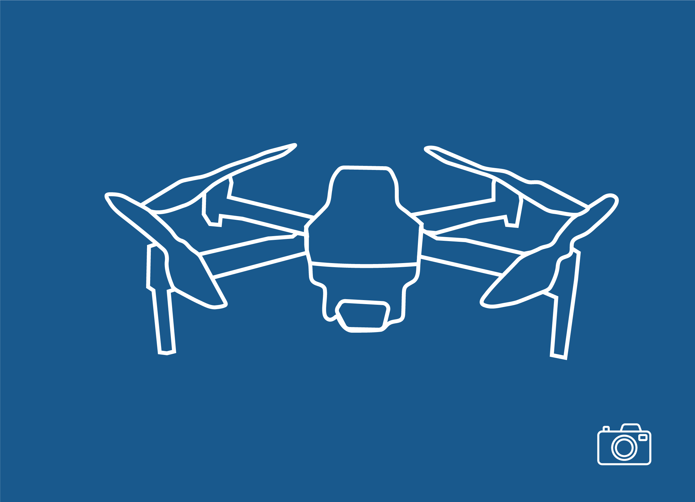
Drone imagery allows for spectacular and immersive aerial shots, offering unique and dynamic perspectives.
Drones, thanks to their maneuverability, can film at different altitudes, in various environments, including hard-to-reach areas, adding a cinematographic dimension to productions.

-
This tool allows the 3D scanning of spaces, in order to create digital twins of buildings and interiors. These digital twins are highly accurate 3D virtual reproductions of physical space, which can be used for a variety of applications.
In other words, Matterport transforms a real space into an immersive, interactive online experience, making it easy to view, manage, and understand that space.
The data collected is used in various sectors such as real estate, construction, facilities management, marketing and sales.